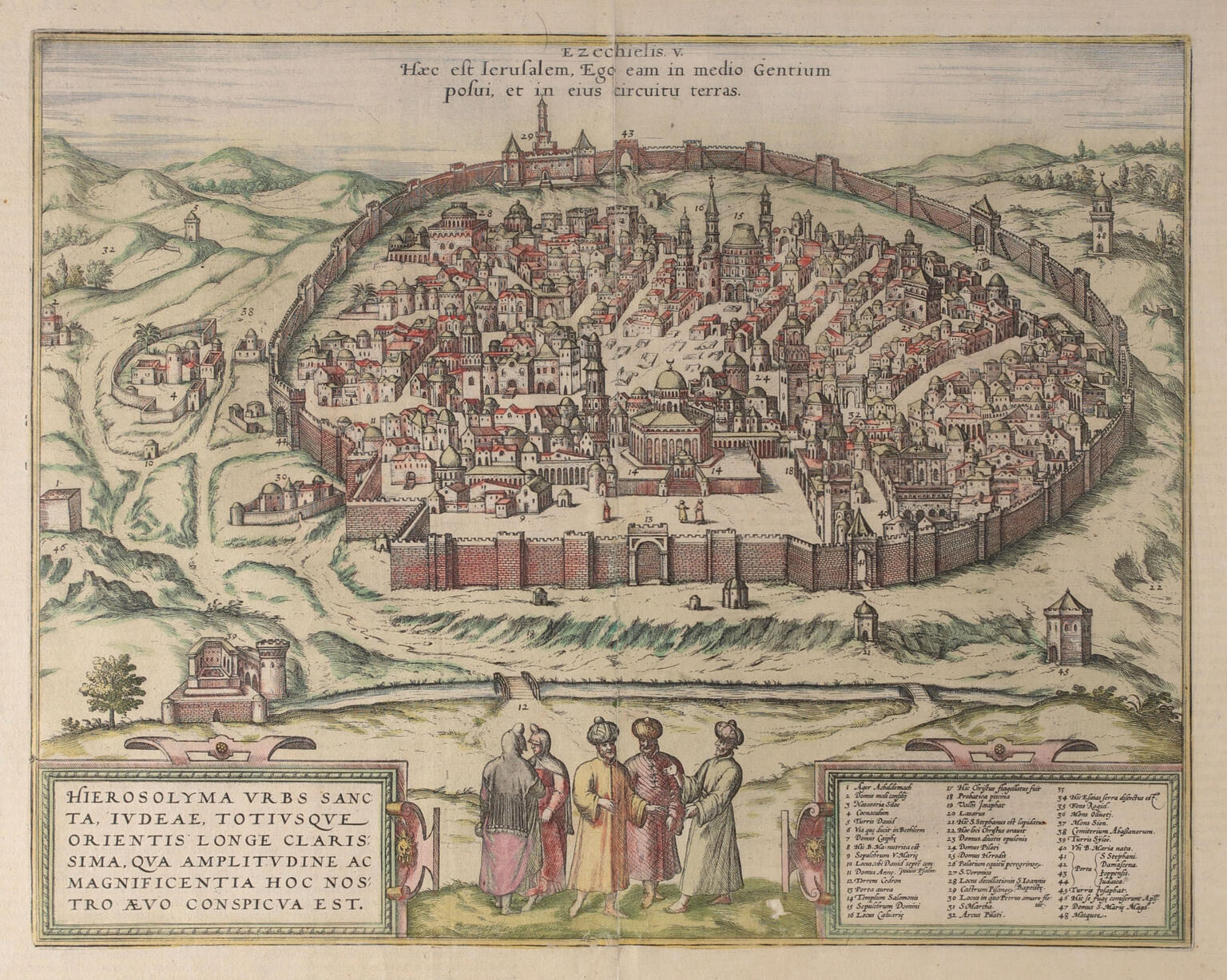
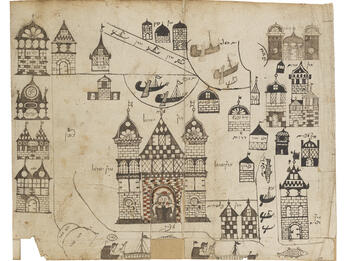
Map of Jerusalem
In this seventeenth-century map, Jerusalem is depicted as a fairly dense city within a wall, with only a few structures outside. Men in Arab dress stand in small groups conversing with one another in the foreground. A Latin inscription in the top center reads: “This is Jerusalem. I placed it in the middle of the gentiles and placed lands in a circle around her” (Ezekiel 5:5). A second Latin inscription on the bottom left reads: “Jerusalem, the Holy City of Judea, and by far the most distinguished city of all the Orient. This is evident in our time by its greatness and splendor.”
Credits
George Braun and Franciscus Hogenberg. From the collection of the National Library of Israel, courtesy of Eran Laor Map Collection. Latin translation by Brandon Bourgeois.
Published in: The Posen Library of Jewish Culture and Civilization, vol. 5.


