Showing Results 1 - 3 of 3
Restricted
Image
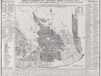
Ángel Jacob Jesurún’s topographical map of Caracas, with its geometric grid, is the first map after Venezuela’s independence to be drawn and printed by a native of the city. After decades of war and…
Contributor:
Ángel Jacob Jesurún
Places:
Caracas, Venezuela
Date:
1843
Subjects:
Categories:
Public Access
Image
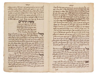
This text of an excommunication, found in David Aboab’s manuscript of Sefer emet ve-yatsiv (True and Certain), chronicles a conflict in the Sephardic congregation of Curaçao. The first Jews arrived in…
Contributor:
David Aboab
Places:
Curaçao, Dutch Colonial Empire (Curaçao)
Date:
1745
Subjects:
Categories:
Public Access
Image
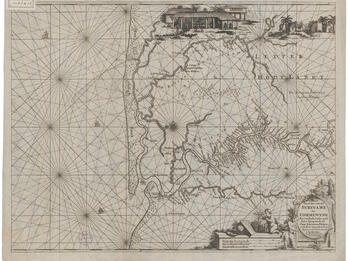
By the time this sea pilot’s map of Suriname was created in 1680, there was a well-established Jewish community there. In the 1660s, Jewish communities arose on the Caribbean islands of Martinique…
Contributor:
Hendrik Doncker
Places:
Amsterdam, Dutch Republic (Amsterdam, Netherlands)
Date:
ca. 1688


